
Residential zoning
- of Mount Roskill is zoned for housing
- 60%
Mount Roskill has about 552 hectares of residentially zoned land.
- Mixed Housing Suburban54%
- Mixed Housing Urban35%
- Single House7%
- Terrace Housing and Apartment Buildings5%
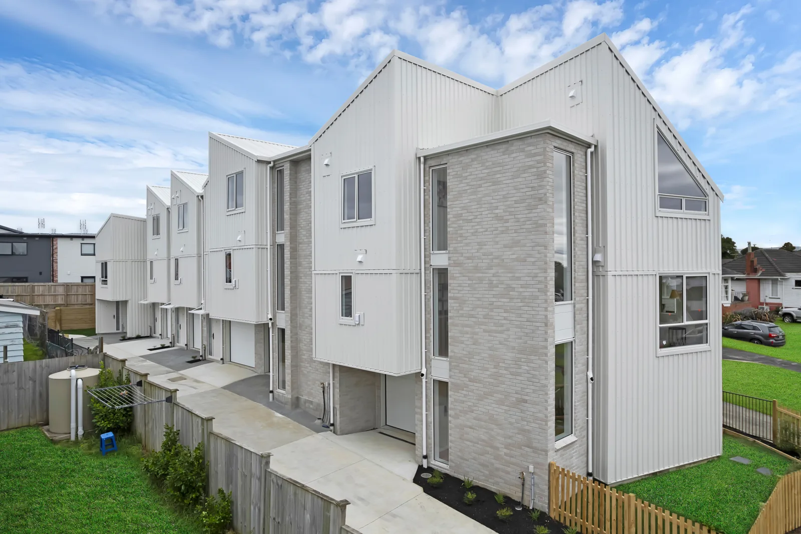
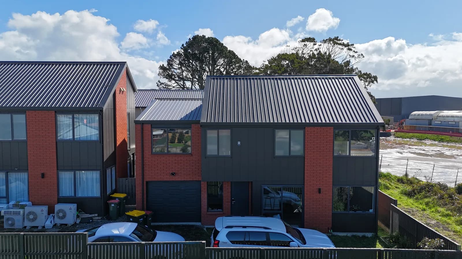
Explore residential townhouse projects on Marion Avenue in Mount Roskill, including Marion Avenue and Marion Heights. The project pages provide the available housing details, imagery and local context for each site.
Zoning, flood hazards and available services influence the type and scale of housing a site can support. The information below gives you a broader picture of these conditions across Mount Roskill.
These figures describe the suburb as a whole. Conditions vary by address.
Mount Roskill has about 552 hectares of residentially zoned land.
The map includes flood plains and low points where rainwater can collect. Check overland flow paths, floor levels and access for the address. Land outside mapped flood areas can still flood.
Nearly all of Mount Roskill is mapped with capacity. This does not guarantee a connection. Ask Watercare to check local pipes, pump stations and the demand from your development.
Creston Property estimates from Council and Watercare maps, measured using LINZ suburb boundaries. Zoning excludes PC120 changes. Flood percentages cover residentially zoned land; network percentages cover the whole suburb. Figures are rounded.
Start with a free land check, or estimate your build cost if you already have plans.