

Residential zoning
- of Glen Eden is zoned for housing
- 56%
Glen Eden has about 490 hectares of residentially zoned land.
- Single House28%
- Mixed Housing Suburban27%
- Mixed Housing Urban24%
- Terrace Housing and Apartment Buildings20%
- Large Lot<1%
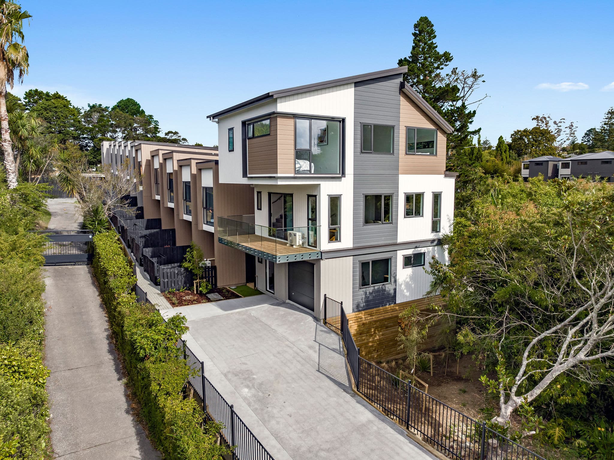
This Glen Eden collection includes Brandon Terraces and Rosier Road, covering terraced townhouses, standalone homes and multi-home residential development. Follow each project for the available design, site and status information.
Zoning, flood hazards and available services influence the type and scale of housing a site can support. The information below gives you a broader picture of these conditions across Glen Eden.
These figures describe the suburb as a whole. Conditions vary by address.
Glen Eden has about 490 hectares of residentially zoned land.
The map includes flood plains and low points where rainwater can collect. Check overland flow paths, floor levels and access for the address. Land outside mapped flood areas can still flood.
About 65% of Glen Eden is in the Waitākere wastewater area and 27% is in a water network area. Both are closely monitored. The upgrade planning ranges are 2026-2040 for wastewater and 2035-2040 for water. Ask Watercare to check local pipes and the demand from your development.
Upgrade years are planning estimates, not confirmed connection dates.
Creston Property estimates from Council and Watercare maps, measured using LINZ suburb boundaries. Zoning excludes PC120 changes. Flood percentages cover residentially zoned land; network percentages cover the whole suburb. Figures are rounded.
Start with a free land check, or estimate your build cost if you already have plans.